Chesapeake Water Watch Program
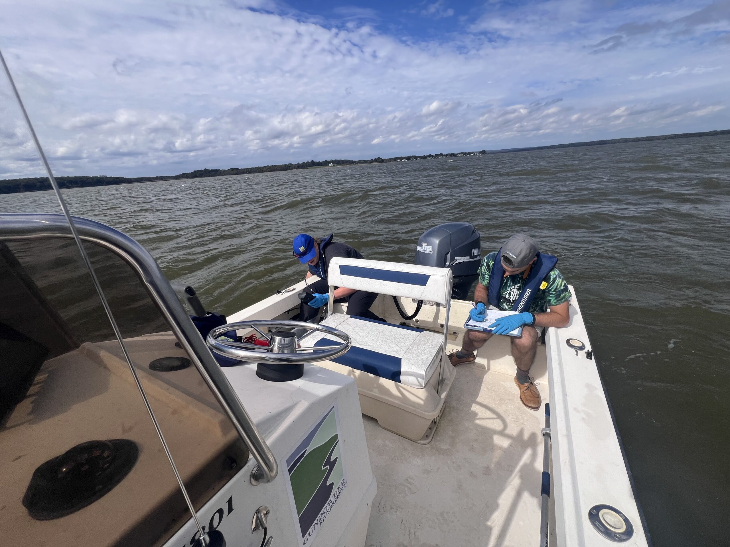
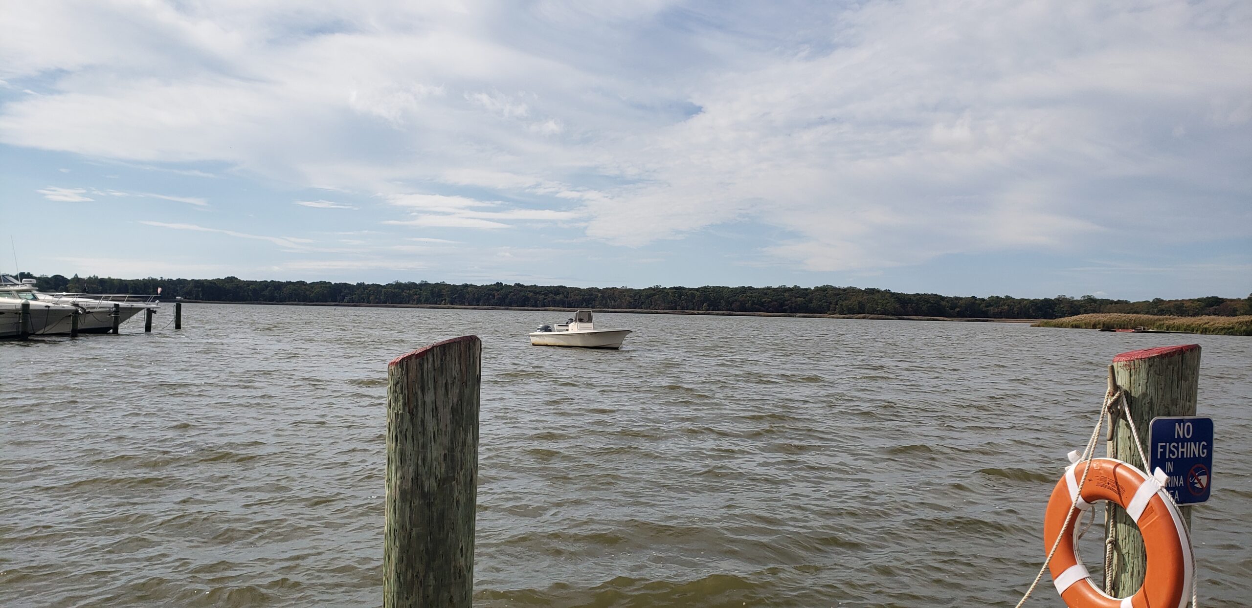
October 7th marked a day that Landsat-9, a NASA/USGS satellite, made one of its many overpasses of the Chesapeake Bay. With that date on their calendar, Gunpowder RIVERKEEPER® rushed to Dundee Creek Marina to untie the skiff and get out on the water.
The Landsat-9 has been given the task taking images of Earth’s surface during its time in orbit in a process called remote sensing. For the Smithsonian Environmental Research Center (SERC), Landsat-9 has been crucial in improving water quality monitoring programs within the Chesapeake Bay. The satellite is one of three that SERC uses to monitor for the bay’s water clarity: turbidity, chlorophyll-a, and colored dissolved organic matter (CDOM). Remote sensing is important because it can help fill water quality monitoring gaps in the bay as some areas aren’t studied very often and can be difficult to access.
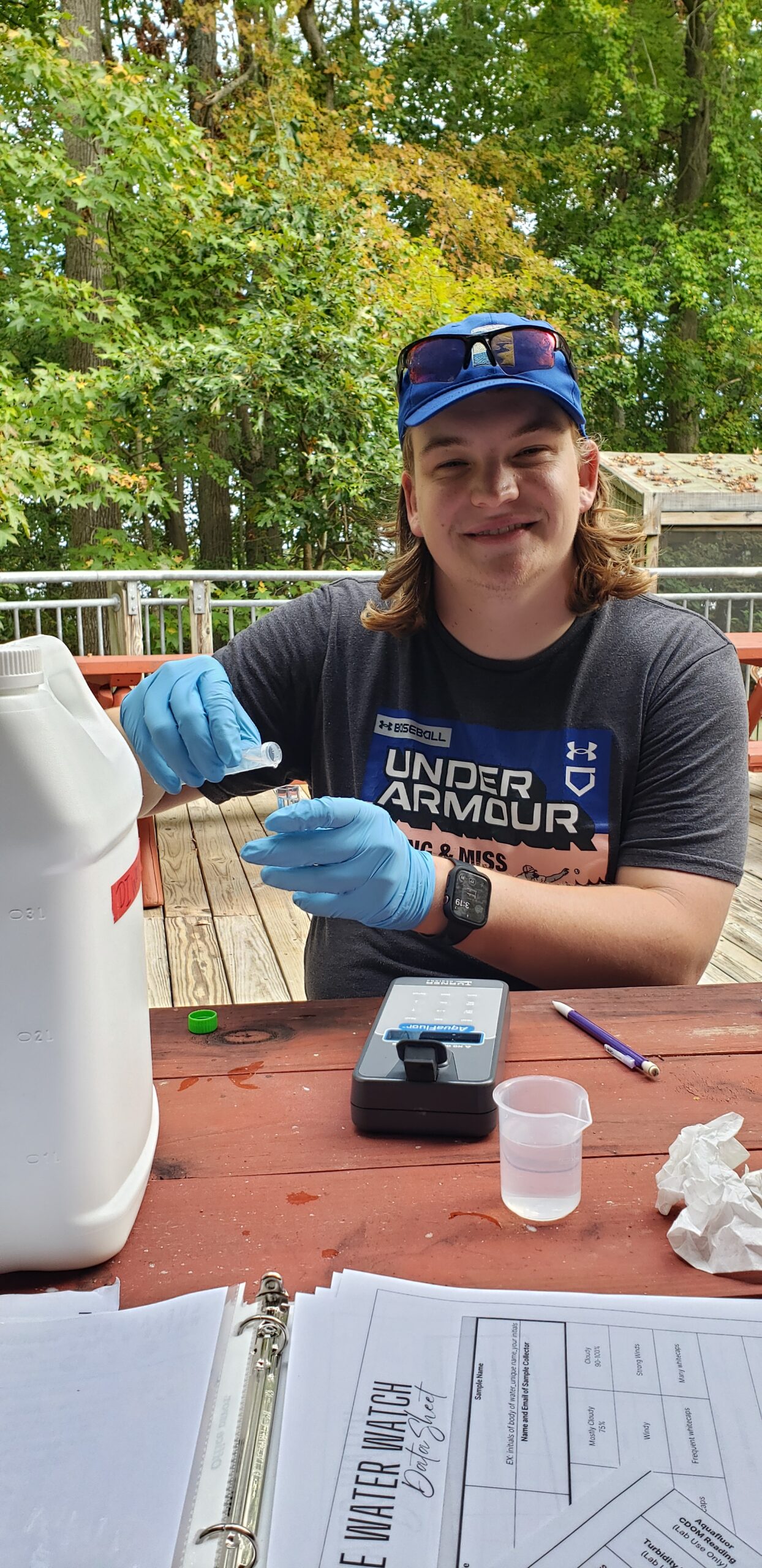
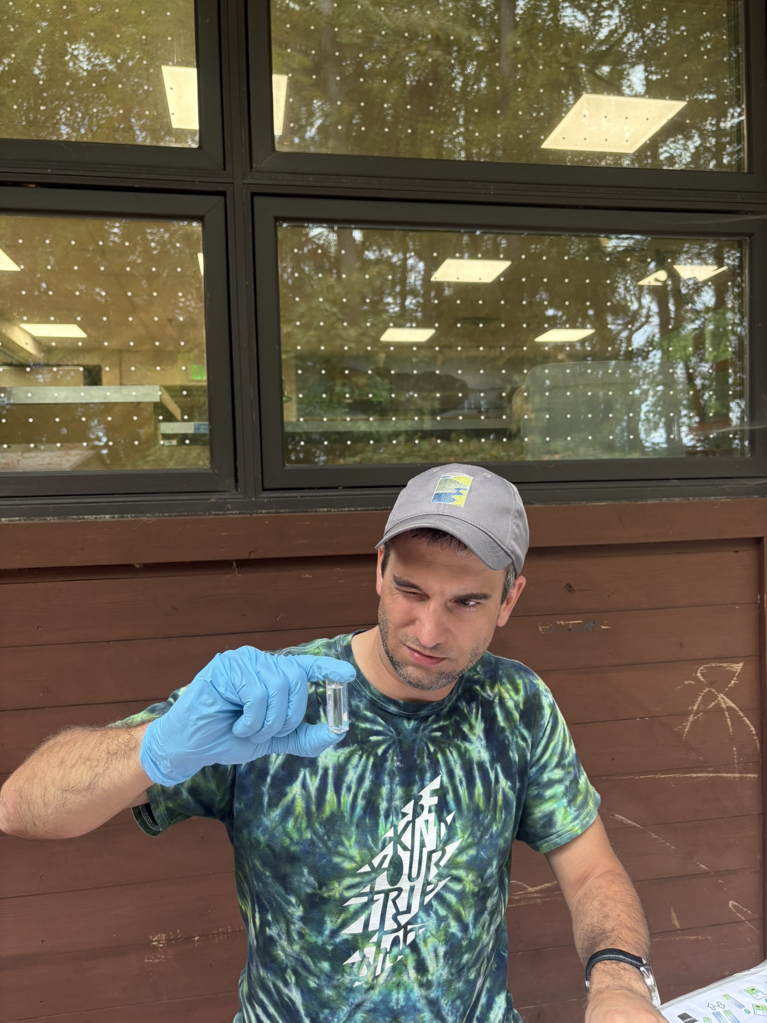
Data from satellite imagery provides a unique ability to determine water quality changes in the Chesapeake Bay. However, images taken from the satellite may not be entirely accurate and require validation from the ground to improve the algorithms that interpret water quality data. To improve the satellite’s potential to accurately provide water quality data, SERC has created the Chesapeake Water Watch Program, a citizen science or participatory science program aimed at ‘ground-truthing’ satellites such as the Landsat-9. The process of ground-truthing involves volunteers gathering data in boats, kayaks, or right from their own dock and uploading it to the online platform FieldScope.
Whether you’re taking water samples to analyze them using colorimeters, fluorometers, and turbidimeters at one of the designated labs, or using the Hydrocolor app on your smartphone, there are plenty of ways to get involved and improve the efforts of ground-truthing satellites. SERC encourages everyone of all scientific backgrounds to get involved. If you are interested please check out the Chesapeake Water Watch Program.
Tidal Monitoring
While water samples were being collected for the ever important cause of the Chesapeake Water Watch Program, Gunpowder RIVERKEEPER® continued its water quality monitoring within the tidal Gunpowder. At around 11:30AM the team boarded the skiff and headed upriver with the wind to Mariner’s Point to spin around and make our way back to the marina, testing all the while.
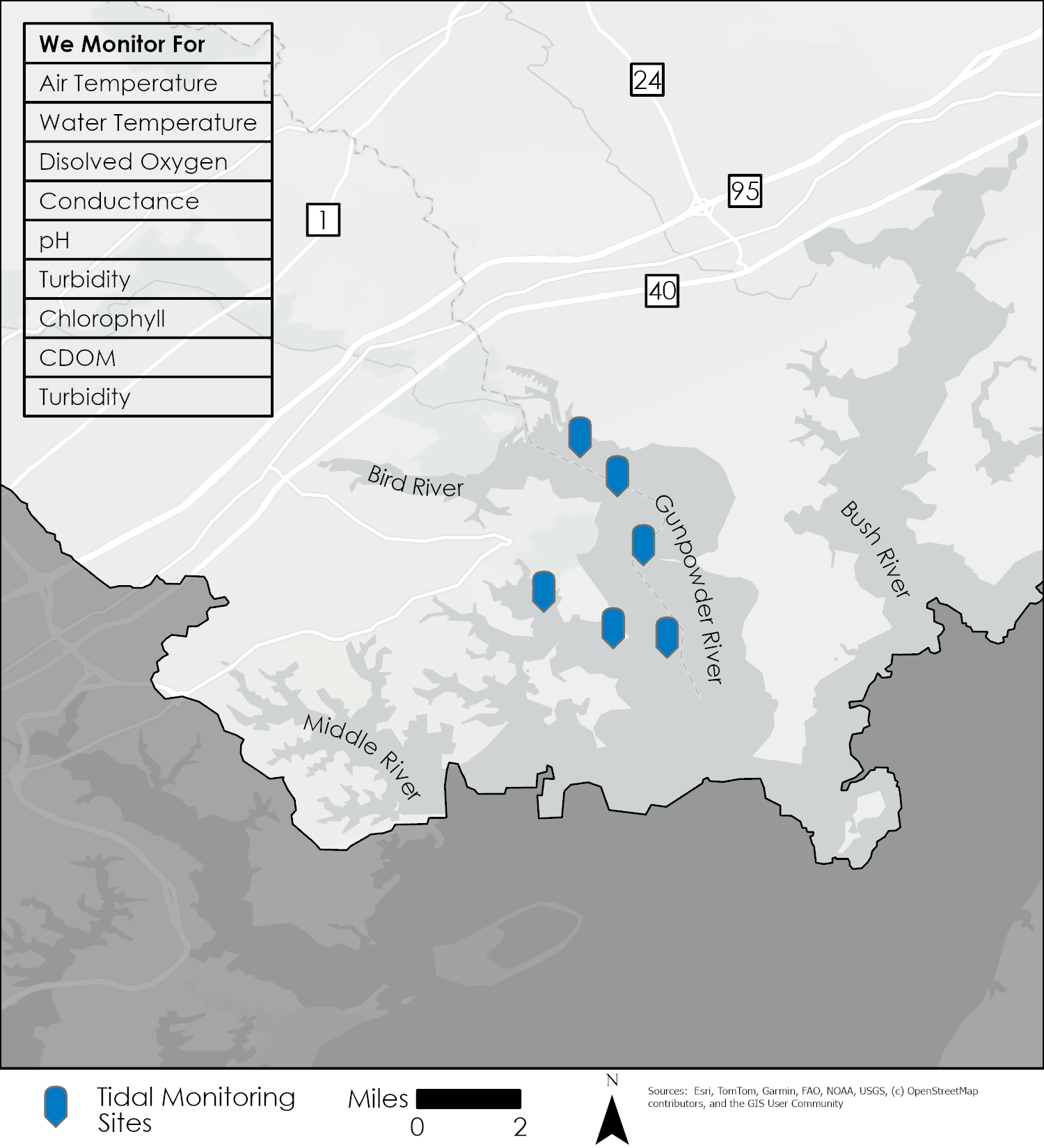
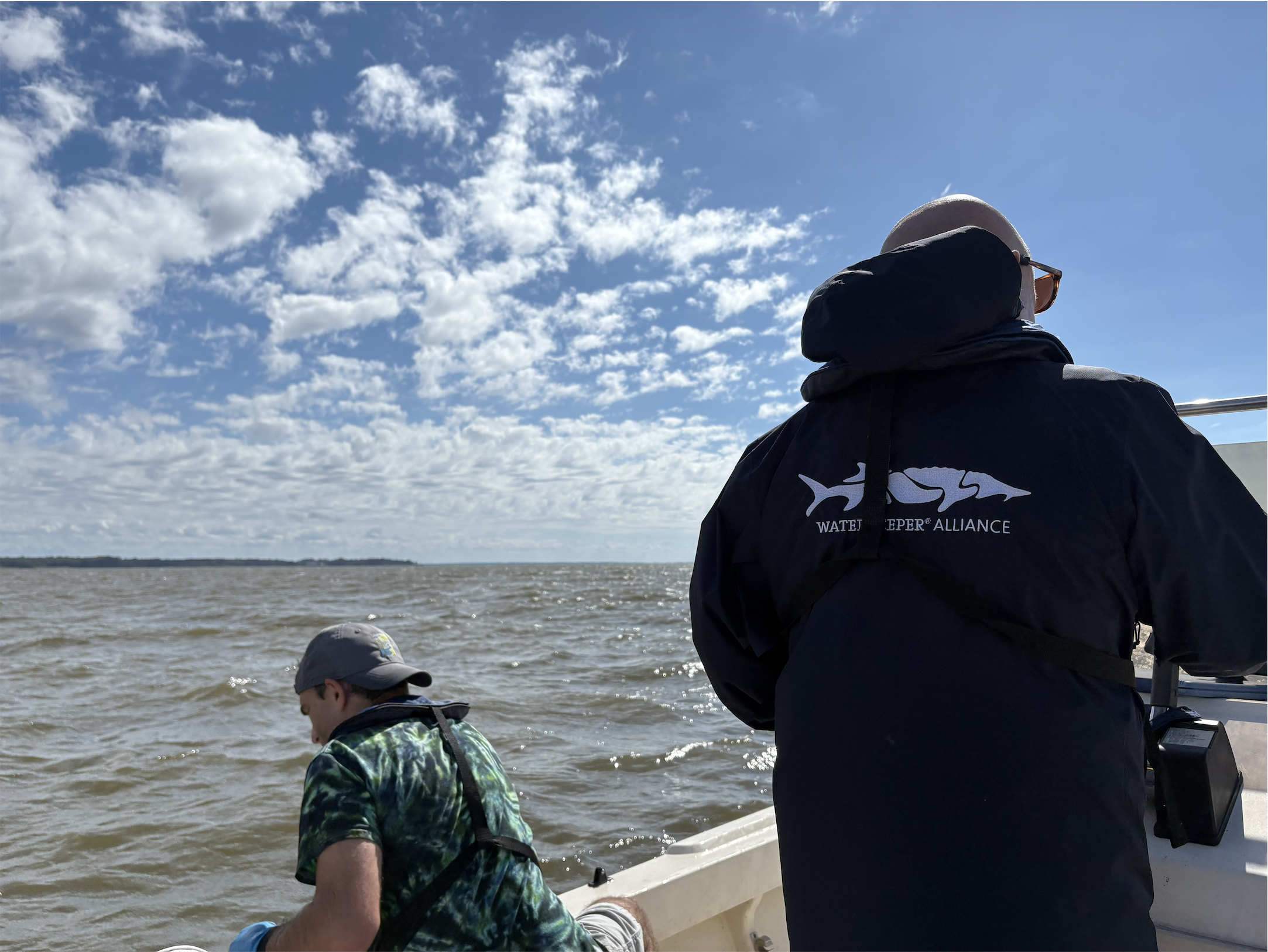
While fighting wind speeds of 10-15 knots and nearly 2-foot waves: Theax Le Gardeur, Joe Ottomano, and Brady Bayne ventured out on the skiff to reach all 7 sampling sites before conditions got any worse. A powerful piece of equipment referred to as a YSI was employed to measure water quality. While fighting the turbulent waters discrete samples were taken in the water column and data was recorded at each site. Upon returning to the dock, everyone was in one piece and had new data to comb through and water samples to analyze for the Chesapeake Water Watch Program. When the Landsat-9 makes its next pass of the Chesapeake Bay you can count on the Gunpowder RIVERKEEPER® to be out there as well.